Posts about Blender
-
Geologic Map of Japan in Blender
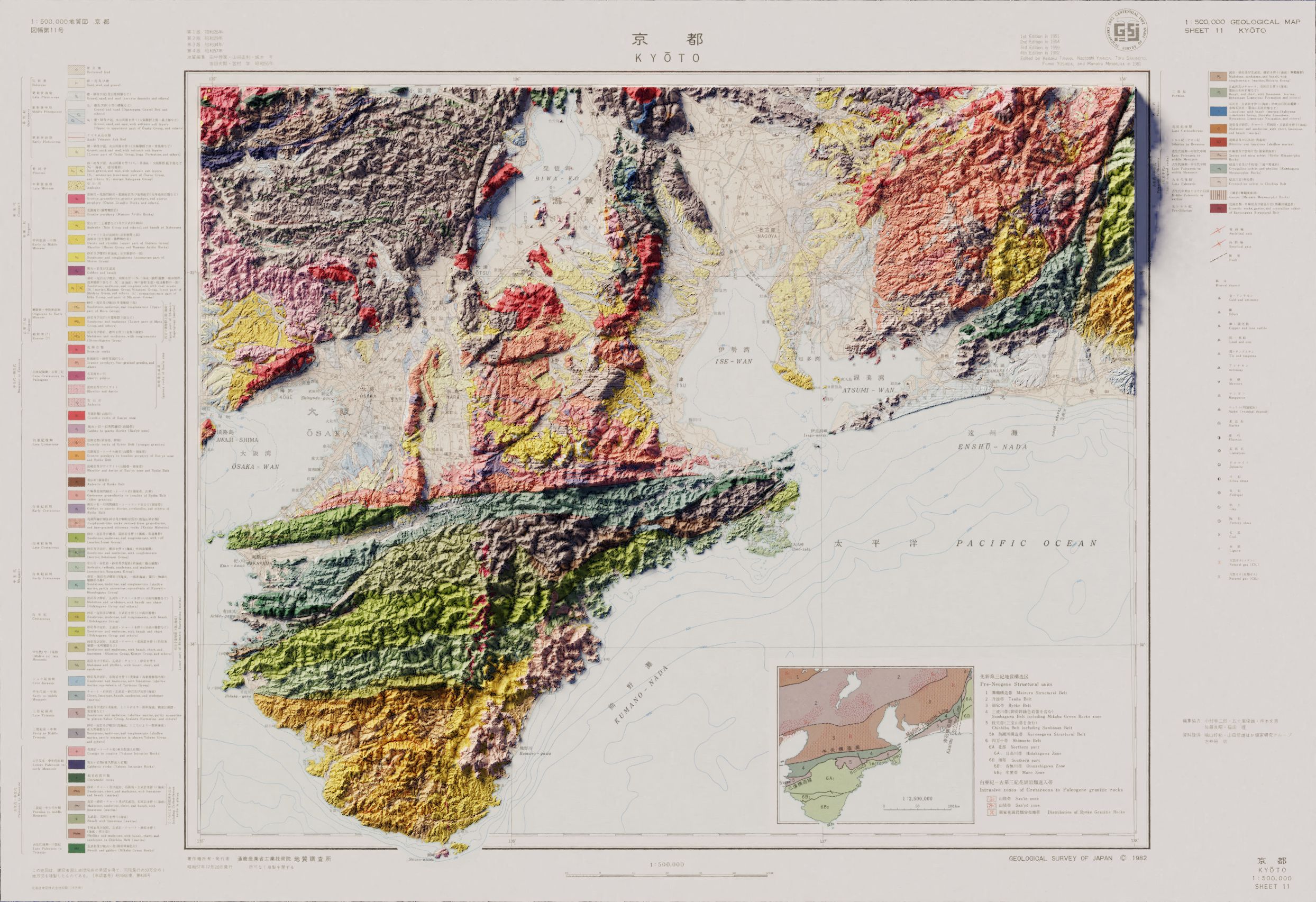
This is the first time I made in Blender using non-USGS data. The vintage map as well as the digital elevation model was readily available from the Geospatial Information Authority of Japan, but getting the data into a usable format was a bit of an adventure.
I haven’t done a full-size render of this one yet, so it might be a tiny bit fuzzy, but the key elements are all there!
Continue reading... -
3D Topo USGS Topo Map
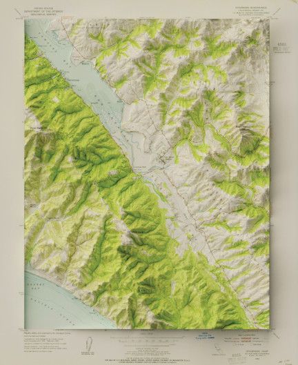
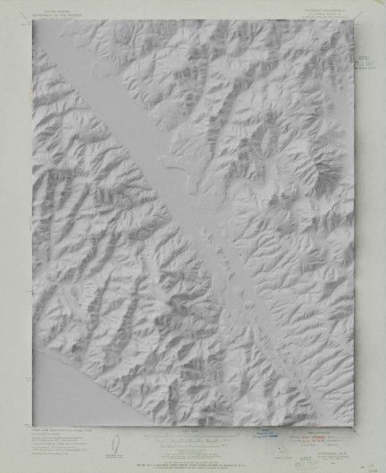
Several years ago I (and a lot of the internet) was very taken with Daniel Huffman’s techniques for creating hillshade in Blender, and the subsequent explosion of modern hillsahde imagery layered with vintage maps. After getting a new computer and basking in the increased processing power, I was able to make some pretty significant improvements on my original attempt in QGIS.
I stared with a USGS topo map, o which I added the hill-shade.
Which I then colored with the original map. I’m really pleased with the level of detail, even close up. Here is Point Reyes station and the surrounding hills.
Continue reading...


